Verified MethodologyDestination Quality 45% · Access & Transit 30% · Seasonal Value 25%
ÞJórsá vs. Jökulsá á Fjöllum? Longest Rivers in Iceland 2026
IcelandIceland possesses a dynamic hydrological network sculpted by active volcanism, expansive subarctic glaciers, and heavy seasonal precipitation across the Central Highlands. Most major waterways are glacial rivers carrying dense volcanic silt…
Read more
and sediments, while others emerge as clear spring-fed streams or surface runoff corridors. Flowing outward from massive ice caps such as Vatnajökull, Hofsjökull, and Langjökull, these watercourses carve deep basalt canyons and feed celebrated waterfalls before reaching the North Atlantic Ocean and Greenland Sea. In addition to creating dramatic natural landscapes, Iceland's longest rivers provide the core infrastructure for national renewable energy through hydroelectric power generation. This ranking reviews the ten longest rivers across Iceland using official geographic surveys from the National Land Survey of Iceland and the National Energy Authority. Understanding these river routes highlights the interaction between glacial geology and North Atlantic physical geography. Icelandic river systems originate in expansive ice caps and high mountain plateaus before descending through volcanic canyons into the surrounding seas. This ranking evaluates the country's ten longest rivers based on verified channel length in kilometers. Rivers are ranked primarily by verified main-stem channel length in kilometers from headwater source to ocean outlet, sourced from official surveys by Landmælingar Íslands and Orkustofnun. Scoring allocates 50% weight to channel length in kilometers, 30% weight to catchment basin area in square kilometers, and 20% weight to relative length proportion compared to the Þjórsá. Composite weighted scores strictly descend from 9.94 to 3.92 across the ranking.
adventures.is

Starting order. Vote up or down to reorder this list.
Current Rankings
- #1 Top RankedLeader#10
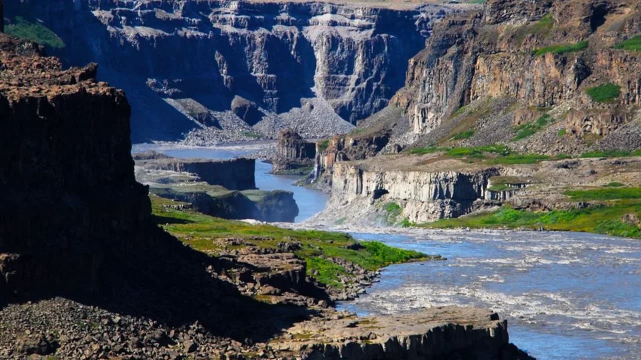
The Þjórsá is the longest river in Iceland, tracing a continuous 230-kilometer course from the interior highlands to the southern Atlantic shoreline. Originating from glacial meltwater streams along the Bergvatnskvísl tongue of the Hofsjökull ice cap, the river courses southwestward across expansive volcanic lava plains.
Why it ranks #1: Ranks first in Iceland with an authoritative channel length of 230 km.basin_km27,530 km²length_km230 kmrelative_length_pct100.0% 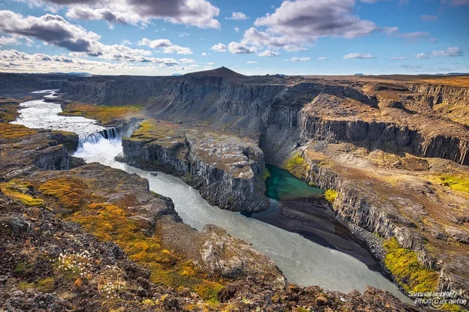
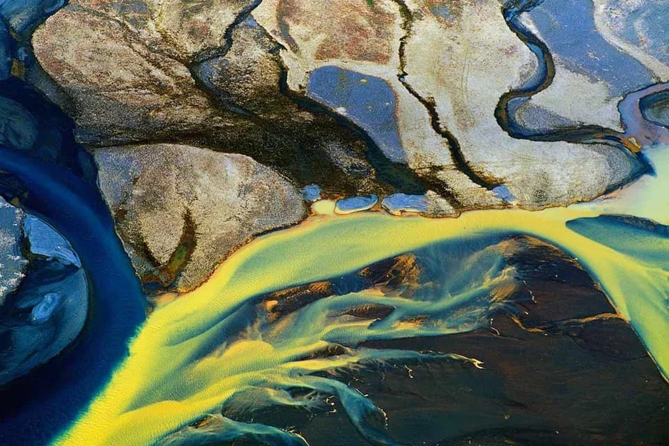
Jökulsá á Fjöllum is the second-longest river in Iceland and the primary drainage artery of the northern highlands, stretching 206 kilometers from glacial headwaters to the sea. The river emerges from the northern margin of the Dyngjujökull lobe of Vatnajökull, Iceland's largest glacier.
Why it ranks #2: Ranks second in Iceland with a surveyed channel length of 206 km.basin_km27,380 km²length_km206 kmrelative_length_pct89.6%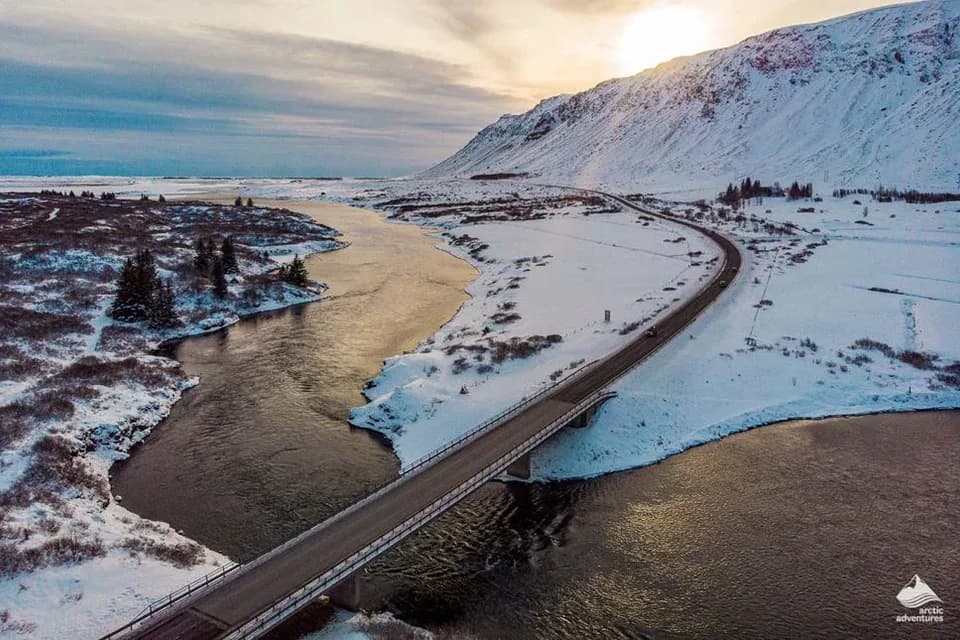
The Hvítá and Ölfusá hydrological system constitutes Iceland's third-longest river, measuring 185 kilometers from its glacial origin to its ocean estuary. Rising in the interior from the Hvítárvatn glacial lake beneath the Langjökull ice cap, the upper river courses through rocky gorges and volcanic plateaus.
Why it ranks #3: Ranks third in Iceland with an aggregate main-stem route of 185 km.basin_km26,100 km²length_km185 kmrelative_length_pct80.4%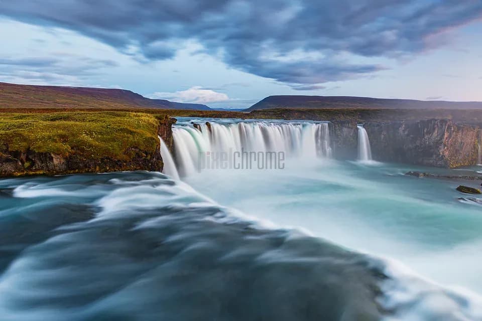
Skjálfandafljót is the fourth-longest river in Iceland, extending 178 kilometers across the northeastern highlands into Skjálfandi Bay. The river has its origin at the northwestern edge of the Vatnajökull glacier near Vonarskarð, an elevated pass in the Central Highlands.
Why it ranks #4: Ranks fourth in Iceland with an established flow distance of 178 km.basin_km23,860 km²length_km178 kmrelative_length_pct77.4%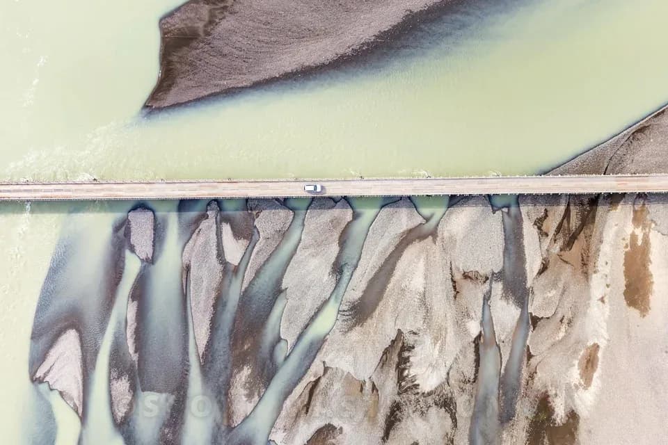
Jökulsá á Dal, frequently referred to as Jökla or Jökulsá á Brú, is the fifth-longest river in Iceland and the longest waterway in the Eastern Region, extending approximately 150 kilometers. Rising from the northern tongues of Vatnajökull, primarily Brúarjökull, the river historically carried heavy glacial sediment loads through deep highland canyons toward Héraðsflói bay.
Why it ranks #5: Ranks fifth in Iceland with a total course measuring 150 km.basin_km23,700 km²length_km150 kmrelative_length_pct65.2%- 0
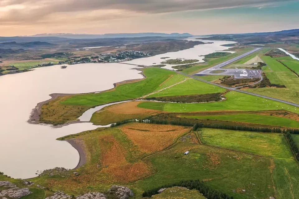
Lagarfljót is the sixth-longest river system in Iceland, running 140 kilometers from the Vatnajökull glacier to the marine bay of Héraðsflói. When measured from the headwaters of its upper glacial tributary, Jökulsá í Fljótsdal, the system drains an area of approximately 2,900 square kilometers.
Why it ranks #6: Ranks sixth in Iceland with a combined river channel spanning 140 km.basin_km22,900 km²length_km140 kmrelative_length_pct60.9% - 0
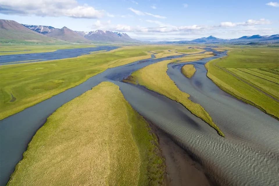
Héraðsvötn is the seventh-longest river in Iceland, encompassing a 130-kilometer system that drains the central and southern valleys of Skagafjörður in northern Iceland. The river is formed by the confluence of two large headwater branches, the Austari-Jökulsá (East Glacial River) and Vestari-Jökulsá (West Glacial River), which originate from the northern slopes of the Hofsjökull glacier.
Why it ranks #7: Ranks seventh in Iceland with a combined river course measuring 130 km.basin_km23,650 km²length_km130 kmrelative_length_pct56.5% - #80
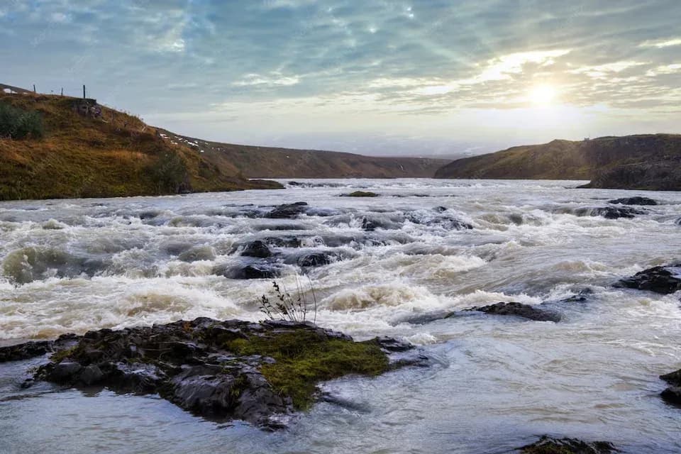
Blanda is the eighth-longest river in Iceland, running 125 kilometers from the southern edge of the Hofsjökull ice cap northward into Húnaflói bay at the coastal town of Blönduós. Its drainage basin encompasses roughly 2,370 square kilometers of highland tundra and pastoral valleys.
Why it ranks #8: Ranks eighth in Iceland with a surveyed continuous channel of 125 km.basin_km22,370 km²length_km125 kmrelative_length_pct54.3% - #90
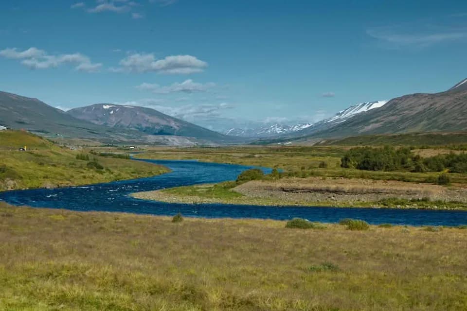
Fnjóská is the ninth-longest river in Iceland, spanning 117 kilometers through the mountainous terrain east of Akureyri before emptying into the fjord of Eyjafjörður. Unlike most of Iceland's major rivers, Fnjóská is primarily a spring-fed and direct runoff watercourse rather than a glacial stream.
Why it ranks #9: Ranks ninth in Iceland with a measured spring-fed course of 117 km.basin_km21,300 km²length_km117 kmrelative_length_pct50.9% 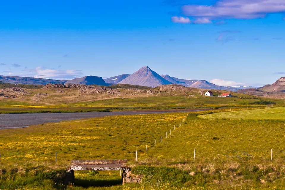
Hvítá í Borgarfirði, commonly known as the White River of Borgarfjörður to distinguish it from the southern river of the same name, is the tenth-longest river in Iceland, stretching 117 kilometers through West Iceland. Rising from meltwater streams along the western glaciers Eiríksjökull and Langjökull, the river traverses the historic Borgarfjörður region before reaching the sea near the Borgarfjörður fjord.
Why it ranks #10: Ranks tenth in Iceland with a verified West Iceland route of 117 km.basin_km21,424 km²length_km117 kmrelative_length_pct50.9%
Have a list idea?
Start your own list and get help drafting entries with AI. A free account is required.
Create a list with AI →Think something was robbed of a spot?
Nominate a missing contender — once approved, the community votes it up or down into the rankings.
Image credits
- Þjórsá: peapix.com
- Jökulsá á Fjöllum: synnatschke.com
- Hvítá and Ölfusá: adventures.is
- Skjálfandafljót: pixelchrome.com
- Jökulsá á Dal: scottmasterton.com
- Lagarfljót: perlan.is
- Héraðsvötn: dronestagr.am
- Blanda: freepik.com
- Fnjóská: snl.no
- Hvítá í Borgarfirði: flickr.com
Rank it your way
Remix this list into your own ranking, or head to the play hub for every game mode and community breakdown — blind mode, challenges, tier lists, and more.