Verified MethodologyPrimary Evidence 45% · Comparative Specs 30% · Community Consensus 25%
Rhine vs. Aare? Top 10 Longest Rivers in Switzerland (2026)
SwitzerlandSwitzerland's towering Alpine topography functions as the hydrographic water tower of continental Europe, discharging runoff into four distinct marine destinations. Precipitation and glacial reservoirs nourish expansive river corridors that…
Read more
carve deep valleys across crystalline Alpine massifs and the Swiss Plateau. While international giants like the Rhine and Rhône begin high in Swiss glaciers before crossing foreign frontiers, domestic arteries like the Aare drain extensive internal territory. Hydrologists measure continuous watercourse reaches within national borders to determine riparian conservation policies, flood mitigation strategies, and renewable hydroelectric production capacities. This benchmark catalogs the 10 longest rivers in Switzerland based on official federal geodata from the Federal Office for the Environment and geographic surveys. This hydrological benchmark documents the 10 longest rivers flowing through Swiss territory ranked strictly by total continuous channel length within national borders. Each profile evaluates headwater alpine glacial origins, cantonal drainage networks, catchment basin areas, hydroelectric infrastructure, and international transboundary reaches. Rivers are ranked in descending order according to certified watercourse length in kilometers within Swiss national borders as of 2026. The evaluation model applies 60 percent weight to Swiss national channel reach, 25 percent weight to domestic catchment basin surface area, and 15 percent weight to total continuous transboundary river length. Hydrological measurements and drainage statistics are compiled from the Swiss Federal Office for the Environment, federal hydrographic registers, and peer-reviewed physical geography references.
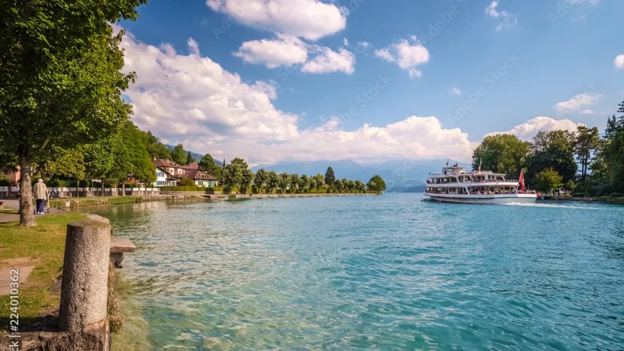
stock.adobe.com

Starting order. Vote up or down to reorder this list.
Current Rankings
- #1 Top RankedLeader#10
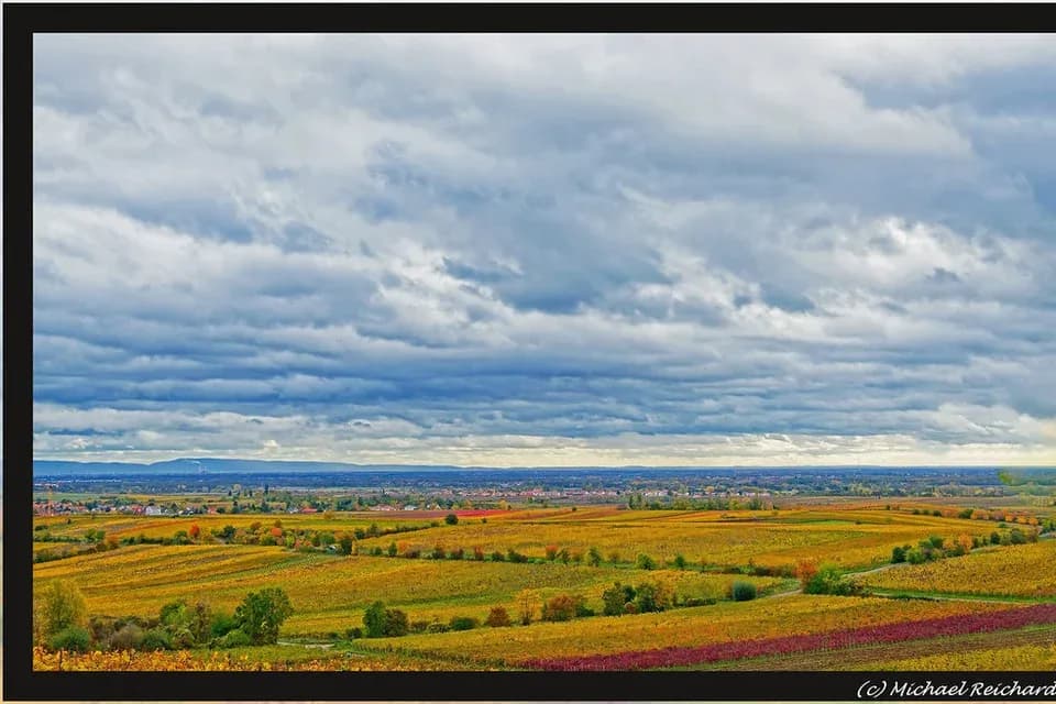
Sourced from Lake Toma in the canton of Graubünden at an elevation of 2,345 meters, the Rhine flows for 375 kilometers through Swiss territory before reaching the German border at Basel. The river's initial headstreams, the Vorderrhein and Hinterrhein, merge near Reichenau to form the Alpine Rhine, which carves a broad glacial trench separating Switzerland from Liechtenstein and Austria.
Why it ranks #1: Ranks first among all Swiss rivers with a domestic reach of 375 kilometers.swiss_length_km375 kmtotal_length_km1,230 kmbasin_area_sq_km36,494 km² - #20

Beginning at the Oberaar and Unteraar glaciers in the Bernese Alps, the Aare flows for 295 kilometers entirely within Swiss borders, establishing itself as the nation's longest domestic river. The watercourse plunges through the precipitous Aare Gorge near Meiringen, feeds Lake Brienz and Lake Thun, and navigates through the federal capital of Bern.
Why it ranks #2: Ranks second overall and first among purely domestic Swiss rivers with 295 kilometers of channel length.swiss_length_km295 kmtotal_length_km295 kmbasin_area_sq_km17,779 km² - #30
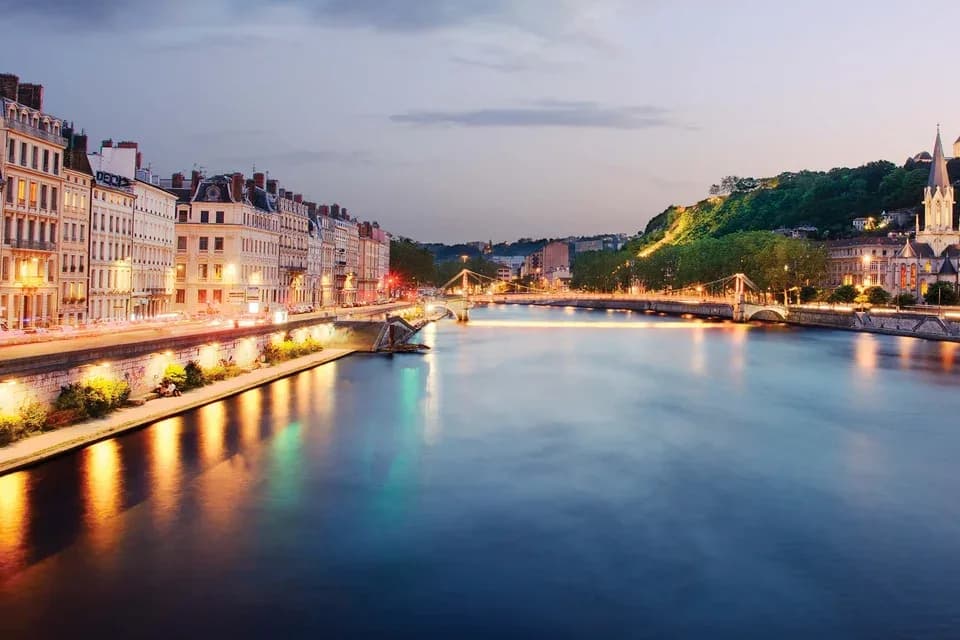
Originating at the Rhône Glacier near the Furka Pass in eastern Valais, the Rhône River courses for 264 kilometers within Switzerland before entering France. The river traverses the glacial Valais trough between the Bernese and Pennine Alps, flowing past Brig, Sion, and Martigny.
Why it ranks #3: Ranks third with 264 kilometers flowing through Swiss territory before crossing into France.swiss_length_km264 kmtotal_length_km813 kmbasin_area_sq_km10,403 km² - #40

Rising in the Gotthard massif in the canton of Uri, the Reuss River flows for 164 kilometers across central Switzerland before joining the Aare near Brugg. In its alpine upper reach, the river carves through the Schöllenen Gorge beneath the historic Devil's Bridge, an essential crossing on the transalpine Gotthard trade route.
Why it ranks #4: Ranks fourth among Swiss rivers with a continuous channel length of 164 kilometers.swiss_length_km164 kmtotal_length_km164 kmbasin_area_sq_km3,425 km² - #50

Originating in the Toggenburg region of the Appenzell Alps near Mount Säntis, the Thur River flows for 135 kilometers through the cantons of St. Gallen, Thurgau, and Zurich. Unlike most major Swiss rivers, the Thur does not flow through any large natural regulating lake, causing its water discharge to respond rapidly to alpine rainfall and seasonal snowmelt.
Why it ranks #5: Ranks fifth with a verified continuous channel reach of 135 kilometers.swiss_length_km135 kmtotal_length_km135 kmbasin_area_sq_km1,724 km² - #60
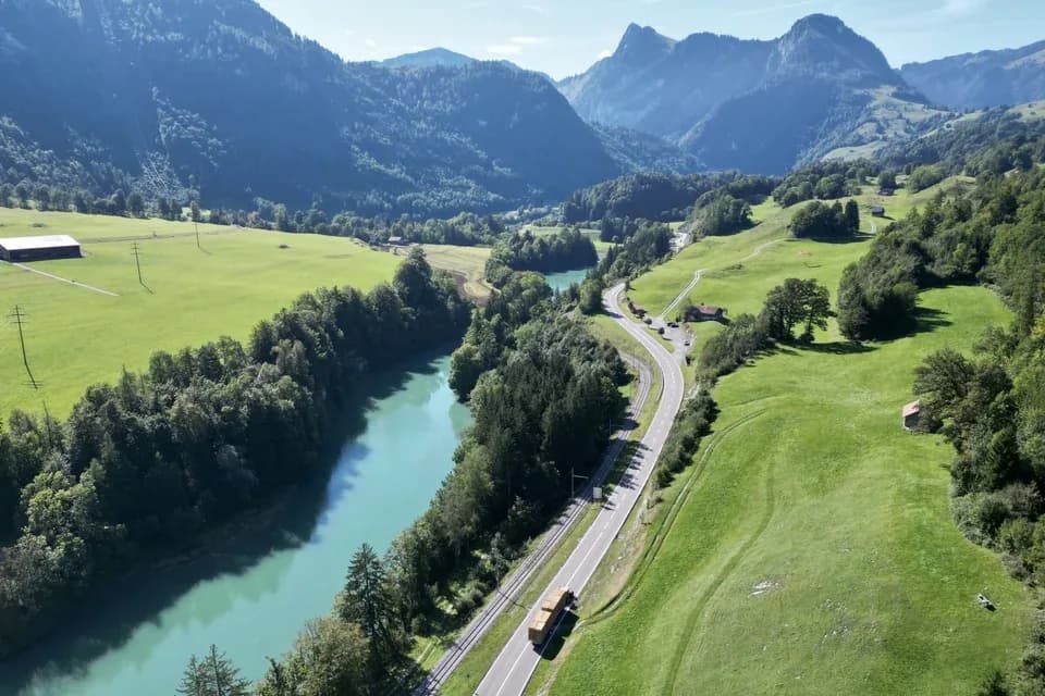
Sourced at the Tsanfleuron Glacier beneath the Sanetschhorn peak in the western Bernese Alps, the Saane (known in French as La Sarine) courses for 128 kilometers through Valais, Bern, Vaud, and Fribourg. The river holds profound cultural significance in Swiss society, traditionally demarcating the linguistic boundary known as the Röstigraben separating French-speaking Romandie from German-speaking central Switzerland.
Why it ranks #6: Ranks sixth among rivers in Switzerland with a measured course of 128 kilometers.swiss_length_km128 kmtotal_length_km128 kmbasin_area_sq_km1,892 km² - #70
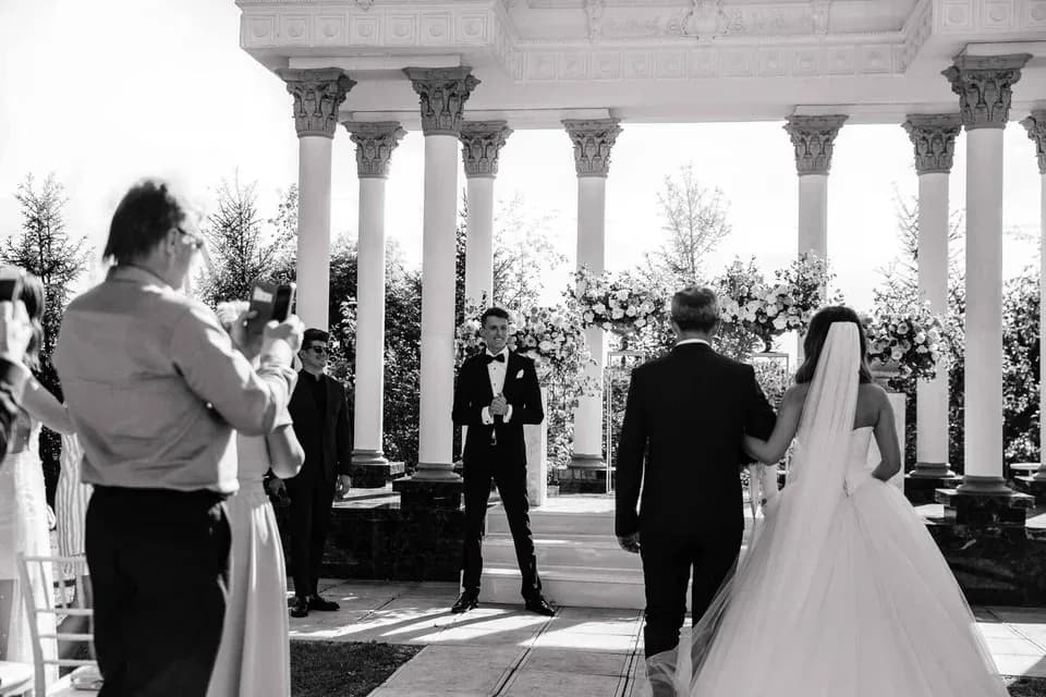
Originating at Lake Lunghin in Graubünden near the Maloja Pass, the Inn River flows northeast for 104 kilometers through Switzerland before crossing into Austria at Martina. The river defines the geography of the high alpine Engadin valley, flowing past Saint Moritz, Zuoz, and Scuol flanked by the glaciated summits of the Bernina and Albula Alps.
Why it ranks #7: Ranks seventh nationally with 104 kilometers of channel length within Graubünden.swiss_length_km104 kmtotal_length_km518 kmbasin_area_sq_km2,150 km² - #80
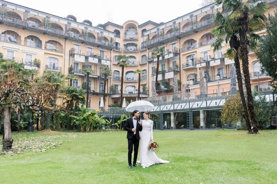
Sourced near the Nufenen Pass in the Val Bedretto at an elevation of 2,478 meters, the Ticino River flows for 91 kilometers across the Italian-speaking canton of Ticino before entering Lake Maggiore. The river descends rapidly through the Leventina and Riviera valleys, carving dramatic granite gorges and collecting snowmelt from the southern slopes of the Saint Gotthard massif.
Why it ranks #8: Ranks eighth with 91 kilometers traversing the southern alpine canton of Ticino.swiss_length_km91 kmtotal_length_km248 kmbasin_area_sq_km1,616 km² - #90
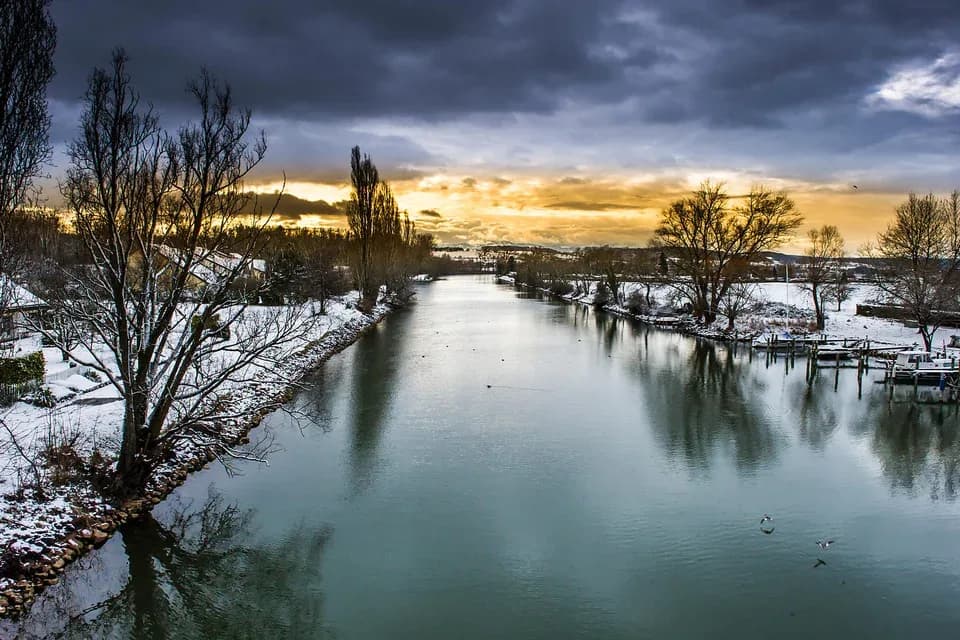
Originating in the Fribourg Prealps near Les Paccots, the Broye River flows for 89 kilometers through the cantons of Fribourg, Vaud, Bern, and Neuchâtel before completing its transit between regional lakes. The river follows a pastoral agricultural valley past Moudon, Payerne, and the Roman archaeological capital of Avenches.
Why it ranks #9: Ranks ninth with a continuous watercourse length of 89 kilometers across the western plateau.swiss_length_km89 kmtotal_length_km89 kmbasin_area_sq_km850 km² - #100

Rising in the Bernese Prealps between the mountain ridges of Hohgant and Augstmatthorn, the Emme flows northward for 82 kilometers before converging with the Aare near Solothurn. The river carves through the renowned Emmental countryside, characterized by lush green hills, historical wooden covered bridges, and traditional timber farmhouses famed for crafting Emmentaler cheese.
Why it ranks #10: Ranks tenth with 82 kilometers of channel reach through the Emmental.swiss_length_km82 kmtotal_length_km82 kmbasin_area_sq_km983 km²
Have a list idea?
Start your own list and get help drafting entries with AI. A free account is required.
Create a list with AI →Think something was robbed of a spot?
Nominate a missing contender — once approved, the community votes it up or down into the rankings.
Image credits
- Rhine: flickr.com
- Aare: clippingpathking.com
- Rhône: tauck.com
- Reuss: behance.net
- Thur: pinterest.com
- Saane: reizenlangsrivieren.nl
- Inn: tanyabogdan.co.uk
- Ticino: briannavoegeliphotography.com
- Broye: charlypantillonphotography.com
- Emme: behance.net
Rank it your way
Remix this list into your own ranking, or head to the play hub for every game mode and community breakdown — blind mode, challenges, tier lists, and more.